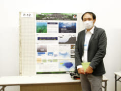
The following titles have been published by RESTEC of the DeSET participating teams. It describes images from satellite data and topographic map creation using machine learning.
Satellite Derived Bathymetry Using Machine Learning and Multi-Temporal Satellite Images (Remote Sens. 2019, 11(10), 1155; https://doi.org/10.3390/rs11101155)


